
The Golan Heights
Cite this page
Israel NOWlej (2027), MAP-027, pp. 56 to 57, israelnowlej.com/map-027
Short address: israelnowlej.com/map-027
Text of this page
MAP 27
L E B A N O N
S Y R I A
J O R D A N
I S R A E L
Sea of Galilee
GOLAN HEIGHTS
Mt. Hermon Mt. Hermon
Neve Ativ Neve Ativ Banias Banias
Merom Golan Merom Golan Kuneitra Kuneitra
Katzrin Katzrin
Ramot Ramot
Hamat Gader Hamat Gader
Safed Safed
Tiberias Tiberias
Kiryat Shmona Kiryat Shmona
L E G E N D
Golan Heights, held by Israel since 1967
UN area of separation, 1974
Mount Hermon, Israeli-held since 2024
Cease-fire line
International border today
N
10 km
6 mi
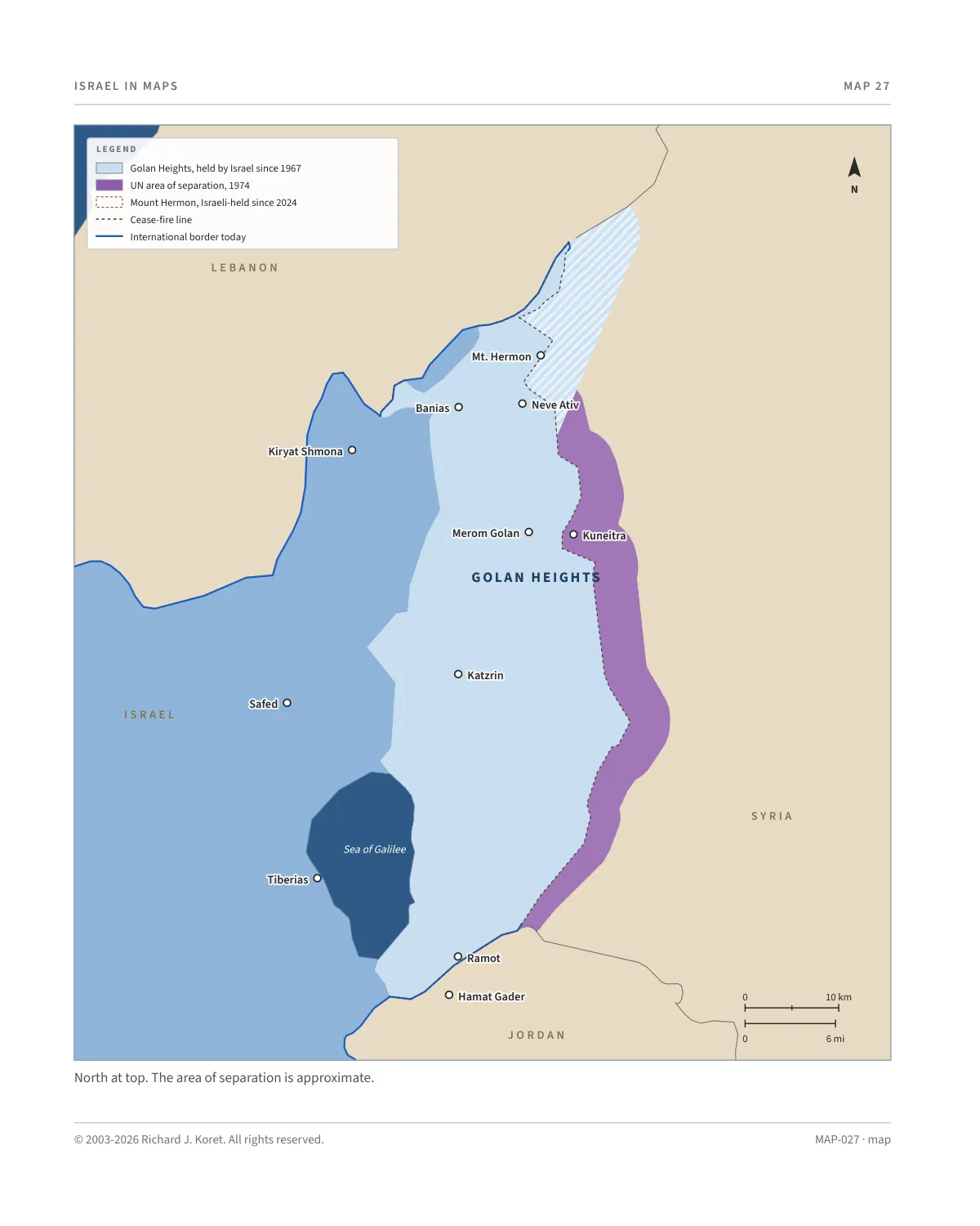
North at top. The area of separation is approximate.
MAP-027 · map
HISTORICAL MAPS
MAP 27 The Golan Heights
Plateau in northern Israel
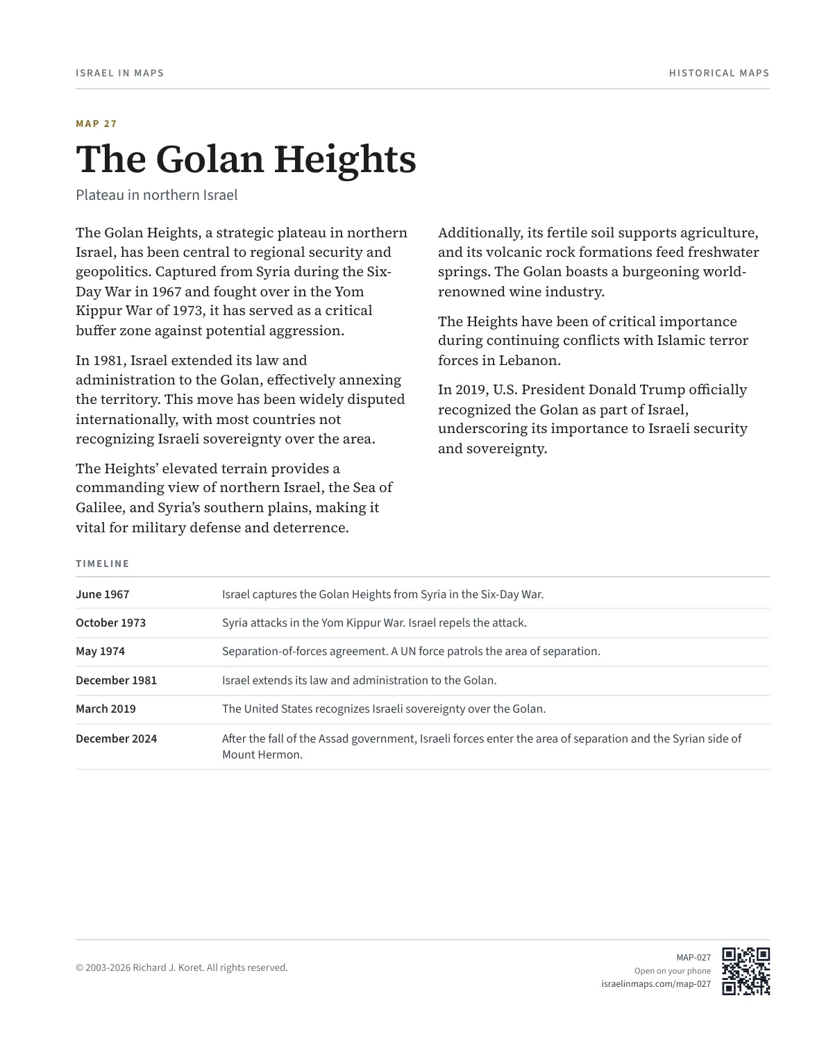
The Golan Heights, a strategic plateau in northern Israel, has been central to regional security and geopolitics. Captured from Syria during the Six- Day War in 1967 and fought over in the Yom Kippur War of 1973, it has served as a critical buffer zone against potential aggression.
In 1981, Israel extended its law and administration to the Golan, effectively annexing the territory. This move has been widely disputed internationally, with most countries not recognizing Israeli sovereignty over the area.
The Heights’ elevated terrain provides a commanding view of northern Israel, the Sea of Galilee, and Syria’s southern plains, making it vital for military defense and deterrence.
Additionally, its fertile soil supports agriculture, and its volcanic rock formations feed freshwater springs. The Golan boasts a burgeoning world- renowned wine industry.
The Heights have been of critical importance during continuing conflicts with Islamic terror forces in Lebanon.
In 2019, U.S. President Donald Trump officially recognized the Golan as part of Israel, underscoring its importance to Israeli security and sovereignty.
TIMELINE
June 1967 Israel captures the Golan Heights from Syria in the Six-Day War.
October 1973 Syria attacks in the Yom Kippur War. Israel repels the attack.
May 1974 Separation-of-forces agreement. A UN force patrols the area of separation.
December 1981 Israel extends its law and administration to the Golan.
March 2019 The United States recognizes Israeli sovereignty over the Golan.
December 2024 After the fall of the Assad government, Israeli forces enter the area of separation and the Syrian side of Mount Hermon.
MAP027 Open on your phone $.- ’)*2’ % *(„( +›
Corrections: none recorded. This is the current version. The 2027 print edition copy is at israelnowlej.com/2027/map-027.